
Mount Pleasant ZIP Code Coverage
The postal labels below are practical ZIP codes to test when an address may relate to Mount Pleasant. They are not a claim that each whole ZIP lies in the Town. Mount Pleasant includes hamlets, Pleasantville, Sleepy Hollow, and part of Briarcliff Manor, while postal delivery can also use a neighboring place name. Start with the address as written, retain its postal city, and confirm the parcel municipality before selecting a Town, village, or County record route.
| ZIP | Areas Covered | Post Office | Notes |
|---|---|---|---|
| 10504 | Armonk label to test | USPS city/state lookup | Specific stable USPS result was not located; test cautiously near Byram Hills and North Castle geography. |
| 10510 | Briarcliff Manor and Scarborough labels | Briarcliff Manor route | The Town includes only a small part of Briarcliff Manor. |
| 10514 | Chappaqua label to test | Chappaqua route | A portion of Chappaqua is identified in Town tax material. |
| 10532 | Hawthorne label | Hawthorne route | Hawthorne is a Town hamlet. |
| 10570 | Pleasantville label | Pleasantville route | Pleasantville is an incorporated village in the Town. |
| 10591 | Tarrytown and Sleepy Hollow labels | Tarrytown and North Tarrytown routes | School and tax relationships require a separate check. |
| 10594 | Thornwood label | Thornwood route | Thornwood is a Town hamlet. |
| 10595 | Valhalla label | Valhalla route | Town Hall and the Town Clerk use a Valhalla address. |
| 10603 | White Plains label to test | USPS city/state lookup | Specific stable USPS result was not located; do not equate the White Plains ZIP with Town limits. |
A ZIP code is a delivery geography. It is not a parcel, school district, election district, village, or Town boundary. The current USPS city/state lookup is the live check for a new address, while the Town and County records identify the governmental jurisdiction. No official historical ZIP realignment list was located for Mount Pleasant, so an old address needs its printed postal place preserved rather than converted to a modern ZIP by guesswork.
Use the USPS ZIP Code Lookup to confirm a current postal label before a Mount Pleasant ZIP code search.
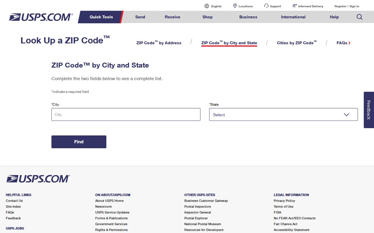
The USPS screen is a postal verification point, not evidence of a parcel’s municipal jurisdiction.
Mount Pleasant ZIP Code Boundaries
Postal city and municipal name answer different questions. A Pleasantville mailing label may identify a postal route for a village or Town area, but it does not by itself establish whether the parcel is in the village, unincorporated Town, or an adjoining jurisdiction. The same caution applies to Briarcliff Manor, Sleepy Hollow, Tarrytown, Chappaqua, and White Plains labels. Use the parcel’s municipality field and the Town’s village information when the record custodian matters.
For a postal-office check, the Briarcliff Manor USPS route also includes the Scarborough station in its result.
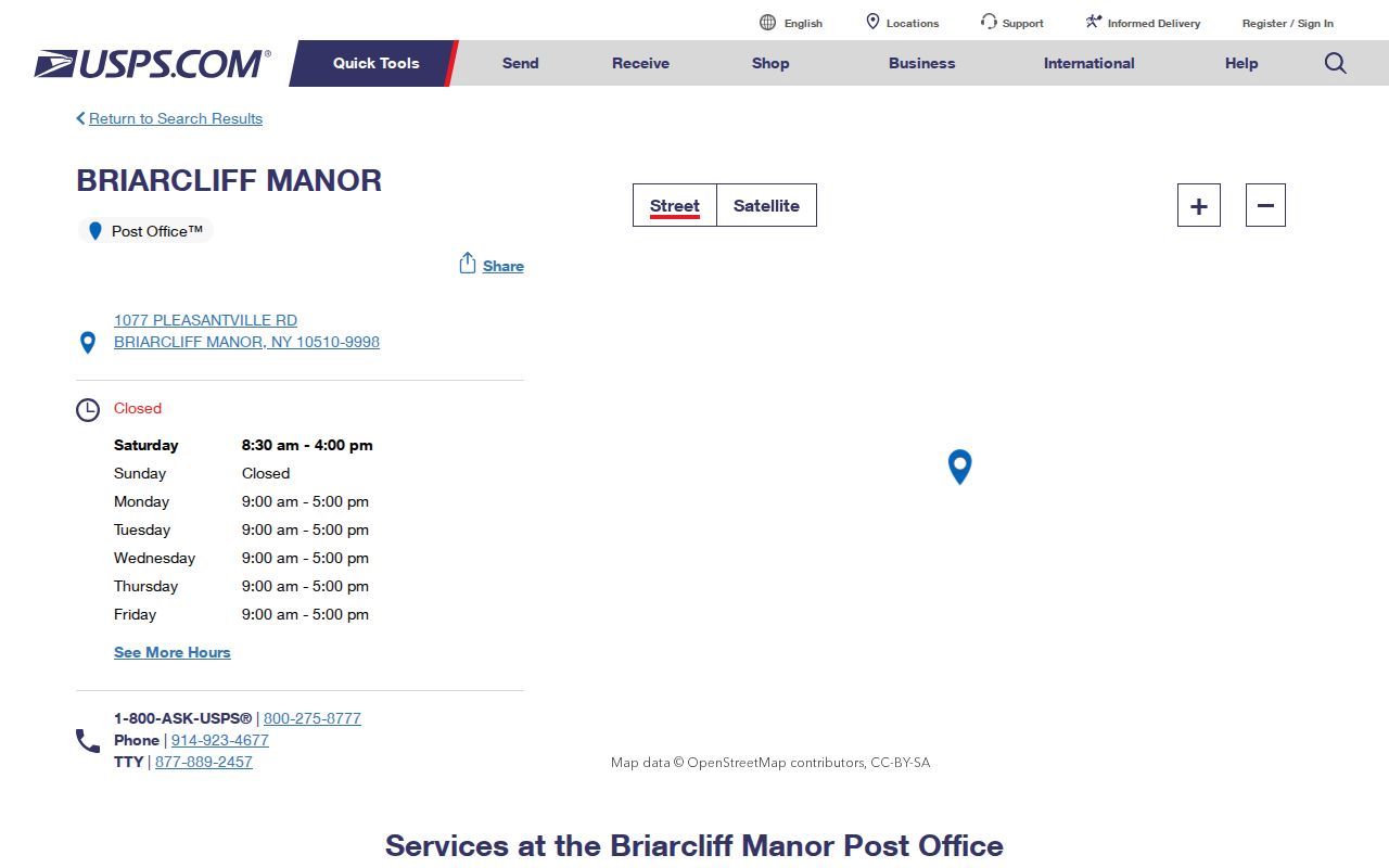
The Briarcliff Manor result supports checking the delivery label while leaving the parcel’s Town and village status to the map and records.
The Chappaqua USPS route is another useful postal-label source for an address that may fall within a Town tax or school geography.
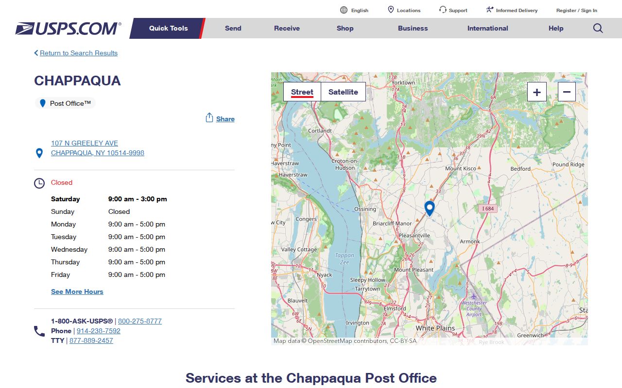
Checking the route first helps avoid treating the word Chappaqua as a complete jurisdictional answer.
Mount Pleasant ZIP Code GIS Fields
The Westchester County GIS Experience and the County’s Mount Pleasant parcel layer make it possible to filter or compare ZIP-related fields. The public interface can change, so use the labels displayed during the search. The documented layer fields below show why one ZIP filter is not enough. Apply the municipality field with a ZIP value when a postal area crosses into another municipality.
| GIS field | Meaning | How to use it |
|---|---|---|
| PROPZIP | Property or situs ZIP | Filter parcels physically associated with that postal ZIP. |
| OWNERZIP | Owner mailing ZIP | Use only for the owner’s mailing relation, not parcel location. |
| PROPCITY | Property postal city | Compare with the written address and ZIP. |
| OWNERCITY | Owner mailing city | Keep distinct from the situs city. |
| MUNNAME / CITYTOWN_NAME | Municipality or city/town field | Pair with ZIP to narrow a ZIP-spanning result. |
Why two ZIP values matter: PROPZIP describes the parcel’s location field, while OWNERZIP describes where the owner receives mail. An owner may use another Westchester municipality, another state, a business, or a fiduciary address. That difference is an important Mount Pleasant ZIP code directory check, because owner mail is not proof of occupancy.
Narrow a Mount Pleasant ZIP Code Search
A postal value can focus an address search, but it does not create a list of everyone who lives there. The strongest result begins with a specific address or parcel and ends with a dated record. Town assessment-roll PDFs can print property and owner addresses, yet the Town does not advertise an advanced ZIP search for those PDFs. The tax-status portal is similarly keyed to name, address, or section-block-lot rather than an advertised ZIP mode.
- Confirm the address’s postal label with USPS, then save the ZIP exactly as written.
- Search County GIS by address or parcel and record the situs ZIP, SBL or print key, and municipality field.
- Compare the relevant Town assessment roll or the Assessor’s public-computer property card with the GIS result, keeping owner name and mailing address in their own fields.
- Use the ZIP-capable New York licensee search only for its stated licensing records. It is not a population list.
- Use the New York voter lookup only for the permitted election-related purpose. Its ZIP field works with county, name, date of birth, and address information, not as an unrestricted roster.
Once a ZIP code result has narrowed to an address, use the Mount Pleasant street directory for the address-by-address record trail. That path starts with the parcel rather than assuming that a ZIP-wide result identifies a current household.
Note: The Town Assessor publishes rolls and offers property cards at a public computer, while visible online ZIP controls can differ from the parcel layer.
Mount Pleasant ZIP Code Postal Checks
Post offices help verify a delivery label, especially where a Town place has more than one civic name. They do not settle a question about municipal boundaries, title, school district, or current occupancy. Save the USPS result with the date searched, then test the actual parcel in County GIS. This sequence is more reliable than relying on a postal city in a contact list or an older document.
The Hawthorne USPS route is a direct source for the Hawthorne label.
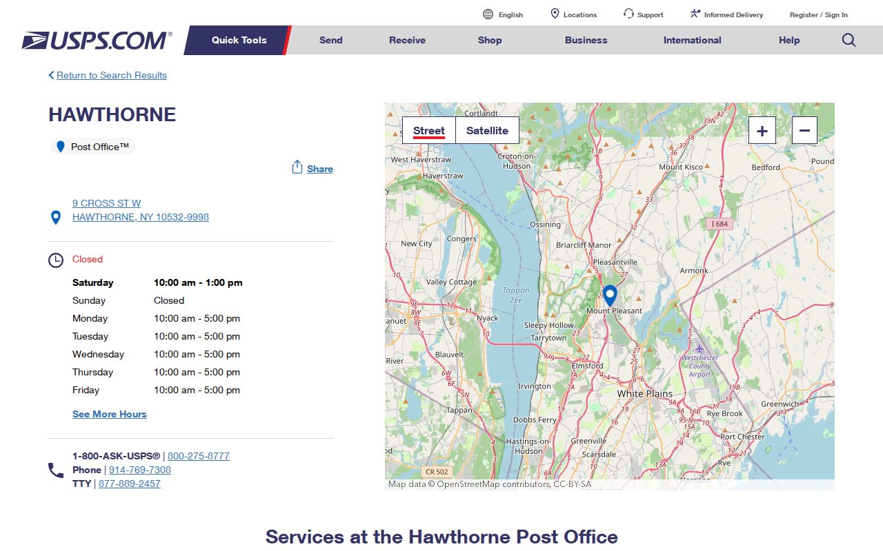
The Hawthorne route is useful for delivery confirmation because Hawthorne is a named Town hamlet, not because a route redraws the Town line.
The Pleasantville USPS route confirms the postal point for the incorporated village label.
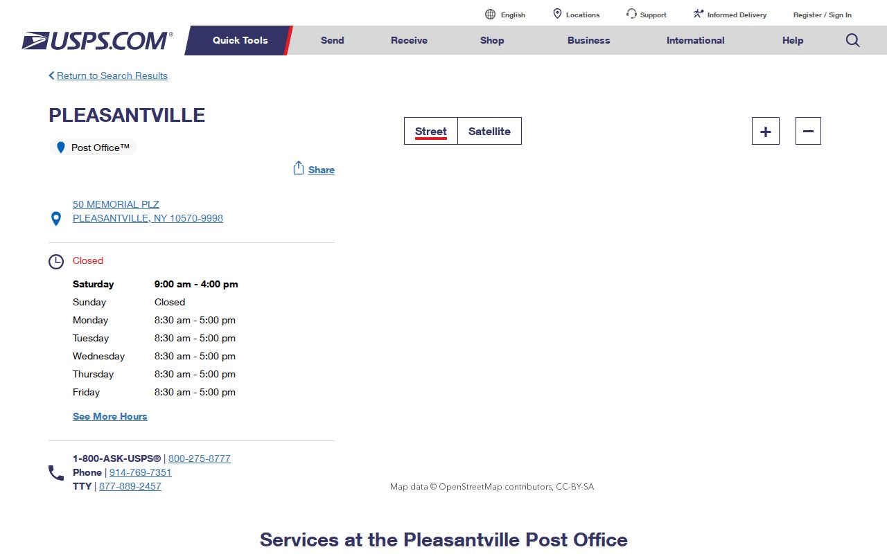
A Pleasantville postal result should be followed by a Town or village jurisdiction check before requesting address-specific records.
Mount Pleasant ZIP Code Terms
Postal terms describe delivery systems, while parcel fields describe a piece of land. Keeping those terms separate makes a ZIP code directory result easier to interpret and avoids attaching an address to a place without support. The research did not identify a local absence or special use for any of these terms, so the definitions below are general postal distinctions rather than claims about a particular Mount Pleasant ZIP.
- ZIP code
- A postal delivery area used with an address. It does not define Town or village jurisdiction.
- ZIP+4
- An added four digits that refine sorting or delivery within a ZIP code. It is more specific for mail, not a municipal identifier.
- PO box ZIP
- A ZIP used for post-office-box mail. Whether a local ZIP has this arrangement must be confirmed with USPS.
- Unique ZIP
- A ZIP assigned for a single organization or high-volume recipient. No local example is asserted without USPS confirmation.
- Carrier route
- A mail-delivery grouping within postal operations. It is not a parcel boundary or an official neighborhood line.
Mount Pleasant ZIP Code History
No official source found in this research supplied a Mount Pleasant ZIP boundary-change map or a historical realignment chronology. That gap matters when an old directory, newspaper, deed, or map uses a postal place that differs from a modern address. Preserve the locality printed in the historical item. Then compare the date, road name, legal description, and parcel geometry before assigning any present-day postal label.
County GIS and Town zoning or comprehensive maps can show municipal geometry, but they are not USPS ZIP maps. A historical land record may be held by the County Clerk, a property file by the Town or a village, and a delivery label by USPS. A current map can therefore be newer than the record being studied. The correct custodian follows the record type and parcel jurisdiction, not the ZIP alone.
The Tarrytown USPS route provides a current postal reference for the Tarrytown and Sleepy Hollow label question.
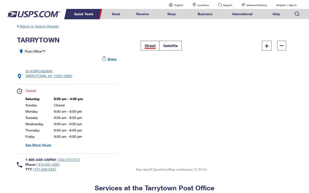
The route helps verify a current postal point, while historical parcel and municipal questions still require dated County and Town sources.
Mount Pleasant ZIP Code Record Custodians
Use the municipality and record type to choose the next office. A Town property record, a village building record, a County Clerk land record, a school-district item, and a USPS delivery record do not share one boundary. The Town cautions that it does not maintain village building information, so an address with a village label may need the village office rather than a Town permit request. The County GIS municipality field and the Town’s village information are useful checks before contacting a custodian.
For nonexempt Town records, Mount Pleasant’s FOIL procedure says requests are acknowledged within five days and may take up to 20 days from acknowledgment to research or provide records. New York FOIL is Public Officers Law Article 6, and the usual letter-size copy rate is 25 cents per page. A carefully described request should identify the address, ZIP, municipality, parcel key, record type, and date range rather than asking for a ZIP-wide list of people.