
Trace Mount Pleasant Streets by Address
Address-first work makes a Mount Pleasant street directory repeatable. Write the address as it appears on mail or a record, including any apartment or unit, and retain the postal city separately from the Town or village label. Use the County parcel map to locate the property, record its SBL and print key, then compare the parcel location with the owner mailing information. That first comparison prevents a common error: an owner may receive mail at a different place and may not live at the parcel.
- Find the address in the County GIS and save the situs address, SBL, print key, municipality, and school fields with the search date.
- Open the matching Town assessment-roll PDF for the relevant year. The roll gives a dated owner-of-record and assessment snapshot, not a household list.
- For a fuller assessment file, use the Assessor’s public computer at Town Hall. Property cards are available there during normal office hours.
- Use the tax-status search by name/address or section/block/lot as a supporting bill record. A payer, mortgage servicer, owner, and occupant can be different people.
- Move from the parcel and legal-description clues to WRO or the County Archives, then test dated directory or voter evidence only within its own access rules.
That sequence moves from a physical location to a parcel and then to dated records. It does not turn one owner name into a claim about every person on a street.
Mount Pleasant Street Directory GIS Fields
The Westchester GIS Experience documents address, print-key, and owner-name searching where available. Its inspected parcel layer supplies the field names that make a street sweep more precise. Use LOC_ST_NBR, LOC_STREET, and PROPADDRESS for the parcel location. PROPAPT, PROPCITY, and PROPZIP preserve the address detail. The layer also carries SBL, PRINTKEY, municipality, property-class, and school fields. The service supports technical spatial queries, but no specific browser control or field requirement is assumed here.
| Street-search field | Layer field | Use in a street check | Limit |
|---|---|---|---|
| Number and street | LOC_ST_NBR, LOC_STREET, PROPADDRESS | Normalizes the parcel location. | Older route names or numbering need separate evidence. |
| Unit and postal label | PROPAPT, PROPCITY, PROPZIP | Separates a unit from the wider parcel record. | A postal label is not a municipal boundary. |
| Parcel bridge | SBL, PRINTKEY, SWISSBL | Links the map to rolls and land records. | Copy the identifier exactly. |
| Owner and mail | OWNERNAME, OWNERADDRESS, city, state, ZIP | Shows the recorded ownership and mailing relationship. | It does not identify an occupant. |
| Jurisdiction and school | MUNNAME, CITYTOWN_NAME, SCHOOL_NAME | Helps select the proper custodian. | Neither field identifies a household. |
The GIS/tax-map viewer is pictured below as the parcel starting point for a Mount Pleasant street directory search.
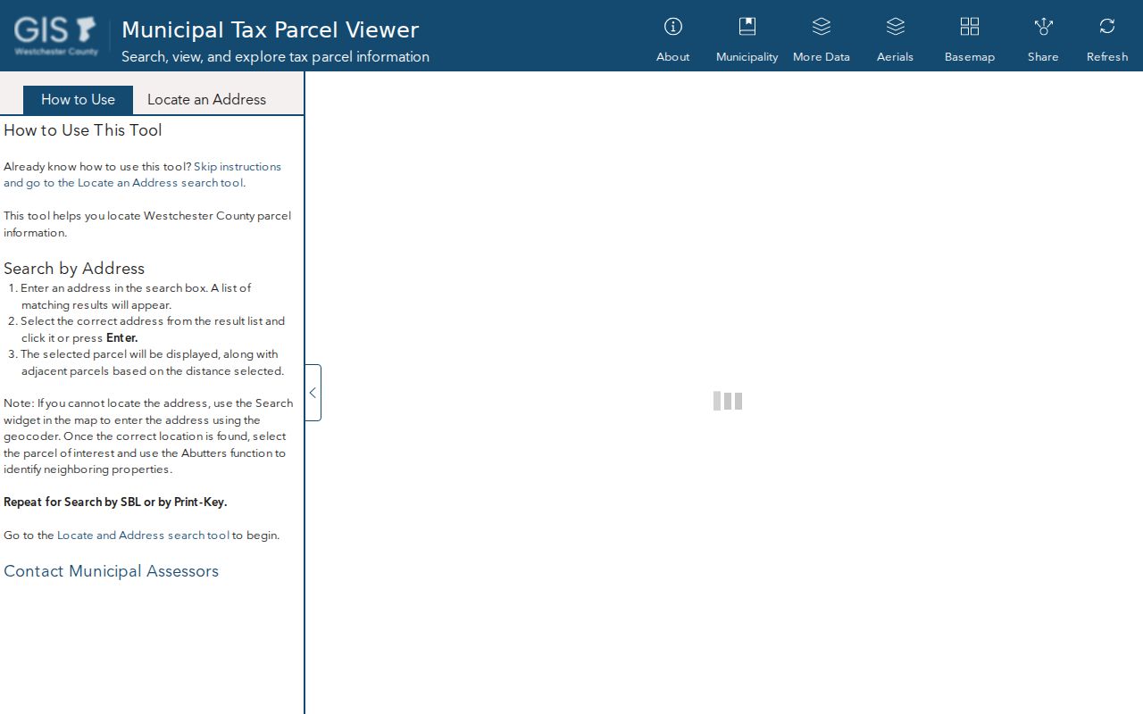
A parcel feature supplies a map-based record lead. Confirm the date and compare it with the assessment roll before drawing a conclusion.
Mount Pleasant Street Record Coverage
Several custodians hold parts of a street-level record trail. The Town Assessor publishes rolls from 2012 through 2026, while property cards are a public-computer resource rather than a remote name-search form. The County Clerk handles recorded land instruments, and the Archives extends older deed-index coverage. Treat each result as a record of its stated function, date, and office.
| Address record | Keeper | What it can show | Access route |
|---|---|---|---|
| GIS parcel layer | Westchester County GIS | Situs, owner mailing fields, SBL, print key, class, school, municipality. | Online parcel viewer; not certified title or occupancy. |
| Assessment roll and card | Town Assessor | Yearly owner-of-record snapshot, property description, assessment details. | Roll PDFs; property-card computer at 1 Town Hall Plaza. |
| Tax-status record | Town Receiver of Taxes | Bill detail and amount tied to a name/address or section/block/lot. | Online status search; payer does not establish occupancy. |
| Land instrument | Westchester County Clerk | Grantor/grantee, document dates, legal-description clues, and map leads. | WRO account or Land Records counter. |
| Older deed index | Westchester County Archives | Grantor/grantee entries from 1680–1907 and mortgages from 1680–1897. | Index, mail research, or Reading Room. |
Published assessment-roll records make a dated street comparison possible. The image below reflects the Town archive route, while the property card remains an in-person source.
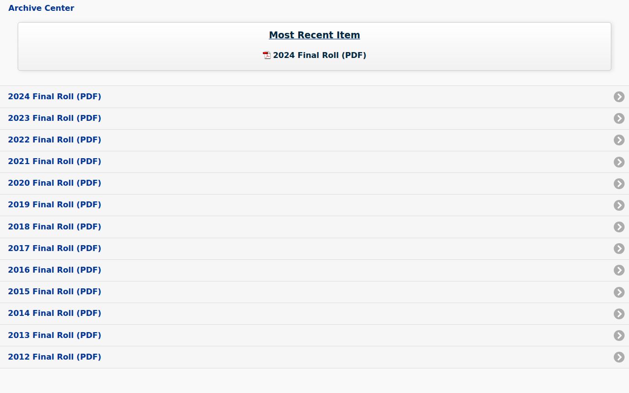
Compare the same SBL across roll years rather than assuming a current roll explains an earlier name or address.
Mount Pleasant Parcel and Address Terms
Property records use a few terms that keep the Mount Pleasant street directory trail from drifting. The parcel identifier is usually more stable than a house number. A legal description and a map can also remain useful when an old record uses a farm, route, railroad locality, or hamlet instead of a modern number.
- Parcel
- A mapped piece of land represented in the tax system and identified here by an SBL or related print key.
- Situs address
- The physical parcel location, reflected in fields such as
PROPADDRESSandLOC_STREET. It differs from an owner mailing address. - Plat
- A recorded map that lays out lots, roads, or a subdivision. A plat can connect a legal description to a mapped location.
- Criss-cross directory
- An address-oriented directory arrangement that can place a dated name at a street address when a usable volume exists.
County historical maps can supply a plat-like bridge for earlier land descriptions. They show land and road context, but a map label alone is not proof that a named person occupied the parcel.
Deed Links Along Mount Pleasant Streets
A street directory becomes a title trail only after the parcel facts move to land records. Westchester Records Online, known as WRO, advertises Land Records, Legal Records, and Maps with an 18th-century-to-recent scope. Its public index search is free, while images and reports require registration. The captured land-search interface did not consistently expose a field list, so use the portal’s available land-record modes and preserve the actual labels shown during a search instead of assuming a name, address, or document-type field.
Start with the current recorded owner and parcel or legal-description clues. Each deed can point to an earlier grantor, the seller, and grantee, the buyer. Follow that earlier party one instrument at a time, retaining the recording date and any legal description or map reference. A recording date is evidence of the instrument, not a move-in date. For the older span, the County Archives indexes deeds from 1680 to 1907 and mortgages from 1680 to 1897.
The WRO grantor-grantee route is shown below. Account-based images are useful research leads, but an online image is not the legal equivalent of a certified Clerk copy.
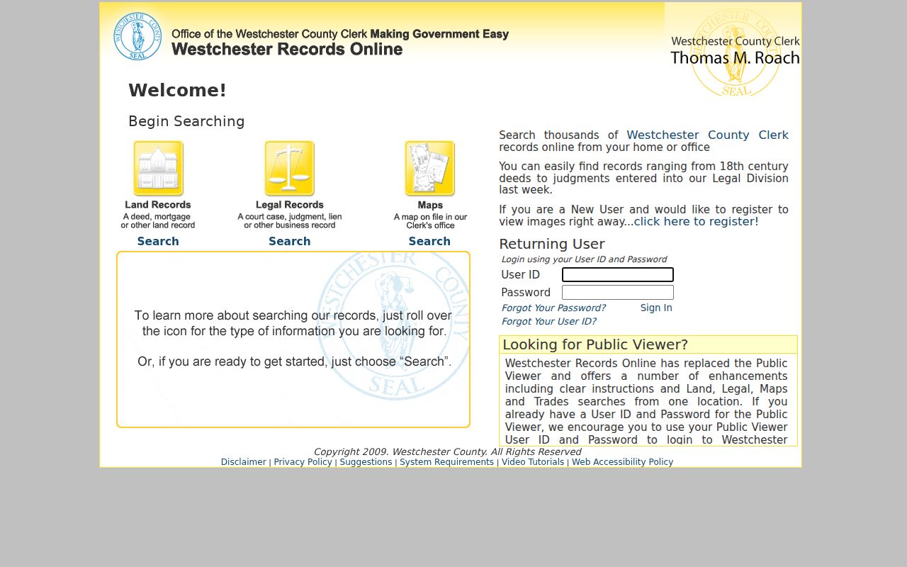
The County Clerk’s Land Records counter at 110 Dr Martin Luther King Jr Blvd in White Plains handles official copies; the direct Land Records number is 914-995-3075.
Mount Pleasant Street Dates and Permits
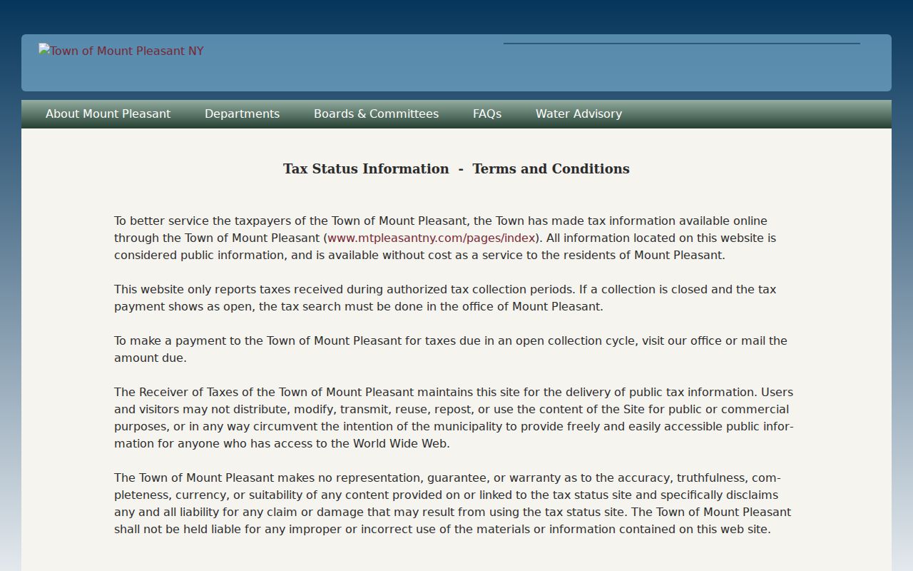
The Town tax-status search accepts a name/address or section/block/lot search after its terms step. “Bill Detail” supplies bill number and full amount. It can corroborate a parcel and date, yet the bill may identify a payer or servicer rather than a resident. Keep the SBL beside the bill information so that the record can be checked against the roll and GIS layer.
The tax-status page below illustrates the Town’s address-and-parcel route for a street check.
Permit and certificate records can add change dates. The Town’s online service center reports historical permit, payment, and inspection functions, but its direct interface was blocked during inspection. Request a Town parcel’s records by address, SBL, permit type, and date range. A parcel inside a village may require the village building department instead. The Town Clerk, at One Town Hall Plaza, is the FOIL Officer; New York Public Officers Law Article 6, sections 87 and 89, governs the request route. The Town says it acknowledges requests within five business days and may respond within up to 20 business days after acknowledgment. Letter-size copies are 25 cents per page.
Mount Pleasant Voter Street Limits
New York’s election records are a distinct, restricted address channel. Election Law section 5-602 describes annual election-district lists that may be arranged by street and number or alphabetically. Section 3-103(5) limits voter-registration information to election purposes, and the State Board’s voter-file route requires an elections-purpose statement. The public voter lookup asks for county, last name, first name, date of birth, ZIP, and address information. It is not an unrestricted roster for a street.
Election Law section 3-220 also recognizes that registration records can distinguish a residence address from a post-office address. Confidential-address procedures, inactive status, and the simple fact that many residents are not registered mean that a missing entry does not settle who lives at a parcel.
Note: Preserve voter records only for the lawful election-related purpose allowed by state law, and do not republish personal contact information.
Historic Mount Pleasant Address Changes
No official source located a comprehensive Town street-renumbering, annexation, or street-renaming table. That gap matters when a modern address fails to appear in an early record. Earlier material may use a route, farm, hamlet, railroad locality, lot, or owner name instead of the current number. Test the location against the legal description, parcel shape, old directory street index, and a dated map rather than forcing an old label into a new address.
The County historical-map collection has property maps from 1793 to 1928 within a wider map collection. The 1848 Beekman Farm map, filed in 1851 as map no. 456, names landowners and lot features that can clarify an old deed. For historical volumes and their repository details, use the Mount Pleasant city directory collections rather than treating a current parcel record as a historical household list.
Place labels can change the search even when the parcel has not. Mount Pleasant includes Hawthorne, Thornwood, Valhalla, Pocantico Hills, Pleasantville, Sleepy Hollow, and part of Briarcliff Manor, while older directory publishers grouped local places along the Harlem Railroad or under White Plains. Preserve the wording printed in the deed, map, newspaper, or directory. A postal city, school district, village name, and Town jurisdiction are separate facts. Comparing those labels with the current GIS municipality field gives a better chance of finding the correct records custodian and avoids treating a mailing label as proof of municipal location.
Lawful Limits on Mount Pleasant Street Records
A street record can establish a parcel, an owner-of-record at a stated date, a tax relationship, a deed role, or a permitted election record. It cannot reliably name every current occupant. The GIS mailing fields, assessment rolls, tax bills, permits, and deeds each have their own limits. If the question narrows from a location to one person, the Mount Pleasant resident lookup route calls for a separate name-and-record verification process.
Lawful use. Use Mount Pleasant street records for personal, historical, property, family, or civic research, and never use information to stalk, harass, or harm another person.