
Mount Pleasant Neighbors by Block
Records about a block answer several different questions. Parcel geometry shows which lots touch or face a target parcel. The assessment roll can show an owner of record for a particular year. A historic map can show an earlier farm lot, subdivision, or neighboring landowner. None of those sources establishes a comprehensive roster of the people who live on the block. Treat the location, date, and record role as separate facts before making a connection.
| Source | What It Shows About a Block | Access |
|---|---|---|
| Westchester GIS parcel layer | Parcel geometry, SBL, print key, situs fields, and owner-mail fields | Interactive map and REST service; not certified occupancy. |
| Town assessment roll | Dated owner and property details for an adjacent SBL | Published rolls from 2012 through 2026; property cards at the Assessor’s public computer. |
| County Clerk maps and WRO | Subdivision, common-ownership, deed, easement, or map-file leads | County collection and land-record routes; official Clerk copy controls. |
| Election records | Election-district record route, subject to statutory limits | Purpose-restricted; not a public block directory. |
| Community history leads | Usonia, hamlet, library, Historical Society, and Chamber context | No comprehensive Town-published association list found. |
The owner name in a parcel or roll is a recorded property role. It may identify a person, trust, business, estate, or other entity connected to title. The field does not prove that the named owner lives at the parcel. Likewise, a tax payer, a permit applicant, and an occupant can be different people. Those distinctions are central to a careful Mount Pleasant neighbors search.
Map Mount Pleasant Neighbors by Parcel
Use the target parcel’s geometry as the starting point. The Town directs people to its Westchester County GIS route for address, print-key, and owner-name searching where available. In the map, a neighbor is a geographic relationship, not an assumed household. Record the target’s situs address, SBL or print key, and polygon. Then identify the surrounding polygons before reading a name field.
- Locate the address or print key in the County GIS and save the target parcel’s geometry and situs fields.
- Identify adjacent or nearby polygons and record each neighboring SBL or print key with its own situs address.
- Open the appropriate assessment roll for each adjacent parcel and keep the owner-of-record field separate from any mailing fields.
- Use the County Clerk or WRO route only when a deed, easement, map-file number, or earlier ownership period is needed.
- For a complete named-street sequence rather than an immediate block, use the Mount Pleasant street directory and preserve the same parcel-by-parcel limits.
Adjacent can mean a shared boundary, a road-separated parcel, a mapped lot across a right-of-way, or a parcel divided by a river or rail line. The map and the legal description control. The technical parcel service supports spatial and distance queries with a 2,000-record maximum, but it has no verified interactive button called “neighbors.” Its visible controls can change, so the documented address and print-key route is the reliable user workflow.
The Town GIS guidance is the source for this Mount Pleasant neighbors map route.
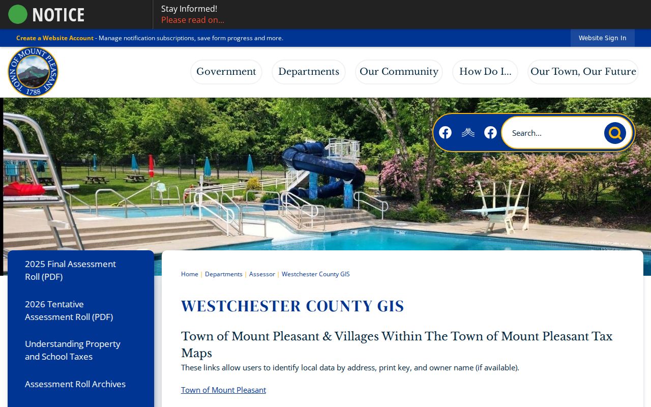
GIS supports a block-by-parcel view, but the image does not turn owner fields into a verified list of occupants.
Mount Pleasant Neighbor Mailing Fields
The parcel layer separates the property’s situs from the owner’s mailing information. Documented fields include property address, apartment, city, ZIP, owner name, owner mailing address, mailing city, state, ZIP, SBL, print key, municipality, school information, and geometry. A result may be current enough to guide the next record check, but the layer does not certify title or occupancy.
- Situs address
- The property location carried in the parcel fields. It is the address to map and compare against the SBL.
- Owner of record
- The person or entity named in an assessment roll or recorded deed for that record date. The role is not the same as occupant.
- Owner mailing address
- Where owner mail is sent. It can be a business, trust, fiduciary, or out-of-area address and is not evidence of residence.
- SBL / print key
- A parcel identifier used to connect the map, assessment roll, and tax or land-record routes.
This mailing-versus-situs difference is an insider check worth making every time. A similarly named person or a nearby mailing address should never substitute for the target parcel’s geometry and dated record.
Mount Pleasant Neighbors on Historic Maps
A shared subdivision or former farm lot can explain a block better than a modern street name. County Clerk historical maps can show lot numbers, roads, physical features, and earlier landowners. A useful local example is the Map of the Beekman Farm, dated 1848 and filed May 9, 1851 as map no. 456. It shows lots, neighboring owners, roads, quarries, rivers, railroads and stations, churches, cemeteries, and barns. Those names describe a historical map relationship, not a current block roster.
For a later block, pair the map with the relevant SBL, assessment-roll year, and WRO deed chain. Common grantors, easements, subdivision names, and map-file numbers can explain why parcels are arranged together. The direct online land-record interface did not yield a verified full field list in the research, so use its displayed land-record modes or contact the County Clerk rather than assuming a hidden search field.
The New York State Archives Mount Pleasant map collection offers a second map lead for the Town.
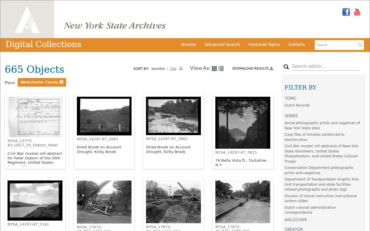
A map record can orient an older road or lot search, but its date and purpose must be retained before linking it to a modern parcel.
Mount Pleasant Neighbor Voter Limits
New York election records are not an unrestricted way to create a block roster. Election Law §3-103(5) limits voter-registration information to election purposes. Section 3-220 describes record content and excludes items such as DMV-license, non-driver-ID, and Social Security information. Section 5-602 describes annual election-district lists that may be arranged by street and number or alphabetically, with fields for inactive and new voters. Those provisions do not erase the purpose rule.
The official voter lookup uses county, last name, first name, date of birth, ZIP, and address information. A voter can be inactive, registered elsewhere, or protected by confidential-address procedures. An Address Confidentiality Program participant may use a substitute mailing address under Executive Law §108. A missing result or substitute address must not be reverse-engineered, and a nonvoter will not appear at all.
The New York voter-file FOIL route describes the purpose statement required for voter-file requests.
The State route is for the permitted election purpose, not a general invitation to assemble nearby names and addresses.
Note: Annual street-style lists described in statute remain subject to election-purpose, confidentiality, and inactive-status limitations.
Mount Pleasant Neighbor Community Leads
Community names can add historical context without producing a private-member list. Usonia Homes is a notable example: the Town master plan describes an approximately 100-acre planned community off Nanny Hagen Road, acquired in 1945 by a group of New York City purchasers and associated with Frank Lloyd Wright’s circular-plan and organic-architecture ideas. Historic Usonia research works best through the community name, road, parcel geometry, map, and dated newspaper material, not a guessed conventional grid address.
| Community lead | Useful block context | Access limit |
|---|---|---|
| Usonia Homes | Historic place name, roads, parcel and map context | No resident roster is identified. |
| Mount Pleasant Historical Society | Local family, photograph, and history lead through the Library | Current public holdings, hours, fees, and member directory were not located. |
| Town Chamber | 2025 business-membership artifact, PO Box 66, Thornwood, and info@mtpleasantchamberofcommerce.org | Business membership only; no current public member-search page located. |
| Hamlets and villages | Municipal and place-name context for an address | No Town-published comprehensive association list was found. |
The Town’s Mount Pleasant geography page identifies the hamlets and villages that can affect a block search.
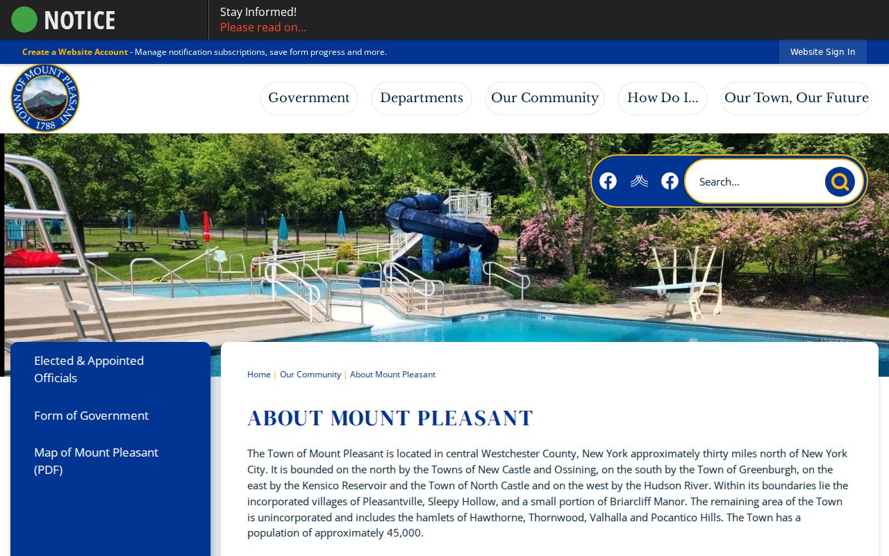
Place-based context can explain an address label, while privacy and custody rules still decide whether any association information is public.
Mount Pleasant Neighbor Record Choices
Official records and unnamed commercial neighbor tools serve different purposes. A parcel map and assessment roll carry a source, date, field labels, and a defined government custodian. Commercial tools may combine public records, marketing data, address-history associations, user-submitted information, or licensed datasets. Their results can be stale, merged across people with the same name, or incomplete for protected people. Neither category is a substitute for respectful judgment or direct confirmation from the proper custodian.
| Category | Useful evidence | Important limit |
|---|---|---|
| Official parcel and assessment records | Mapped parcel, SBL, owner-of-record field, and dated assessment snapshot | Owner is not necessarily an occupant; GIS is not certified title or occupancy. |
| County map and deed sources | Historic lot, landowner, legal description, and title-chain leads | Historic names do not establish a current household; official Clerk copies control. |
| Unnamed commercial neighbor tools | Possible lead to recheck with a source | Accuracy, identity matching, dates, and protected-address treatment can vary. |
When a record is wrong, request correction through the original custodian. Do not amplify an unverified address or combine sources to infer a private person’s present location.
Mount Pleasant Neighbors and Privacy
New York FOIL does not require publication of every name or address held by an agency. Public Officers Law Article 6 has privacy protections, and the 2026 Court of Appeals decision in Matter of Russell v Town of Mount Pleasant upheld withholding the Town’s E-News subscriber names and email addresses because of privacy, public-interest, phishing, and public-engagement concerns. An agency-held list is not automatically a public neighborhood directory.
The Town’s peddling and soliciting materials are another limited municipal record type. They may concern an applicant or license context, but they are not a record of a block’s residents or an invitation to contact people nearby.
The Town peddling and soliciting license information illustrates a municipal record with a defined, narrow purpose.
A narrow license record should remain distinct from a neighbors search, just as owner mail should remain distinct from occupancy.