
Finding Mount Pleasant Resident Records
Start with the fact that can be checked without guessing. An exact street address is the strongest starting point because Westchester GIS can connect it to a parcel key, the Town assessment roll, and a title trail. A known name needs more care. A name in a deed identifies a party to a recorded instrument, a name in an assessment roll identifies an owner of record for that roll year, and a court or archive entry identifies a person in that particular record. None of those labels automatically proves current occupancy.
Mount Pleasant also crosses several local labels. Pleasantville, Sleepy Hollow, part of Briarcliff Manor, Hawthorne, Thornwood, Valhalla, Pocantico Hills, and nearby postal places can all matter. Preserve the postal city, village or hamlet, and Town jurisdiction separately. That small habit keeps an address search from going to the wrong building department or from treating an owner mailing address as the parcel location.
- Normalize the street address, unit, postal label, and the year being investigated.
- Resolve the address in the County GIS and save its SBL or print key with the situs fields.
- Check the Town roll for the relevant year and distinguish the owner field from occupancy.
- Follow the deed chain in Westchester Records Online or the County Archives when the question reaches back in time.
- Pair a historical name with a dated directory, newspaper, probate, census, or map record before drawing a household conclusion.
Mount Pleasant Resident Records Offices
Different Mount Pleasant records have different custodians. The Town Clerk is the first local contact for Town-held vital records, FOIL requests, and record-management questions. The Assessor keeps the roll and makes property cards available on a public computer. The County Clerk maintains recorded land instruments, maps, judgments, and related official records. For an address-first investigation, the Mount Pleasant street directory explains how those sources fit along one named street.
Westchester County Clerk Land Records
110 Dr. Martin Luther King Jr. Boulevard
White Plains, NY 10601
914-995-3075
Mount Pleasant Assessor
1 Town Hall Plaza
Valhalla, NY 10595
914-742-2345
New York Voter Registration Lookup
Statewide lookup and Board route
Westchester County is the local jurisdiction
Election use is restricted by law
The Town of Mount Pleasant homepage is the central official route to the Town Clerk, Assessor, Receiver of Taxes, FOIL, and department pages.
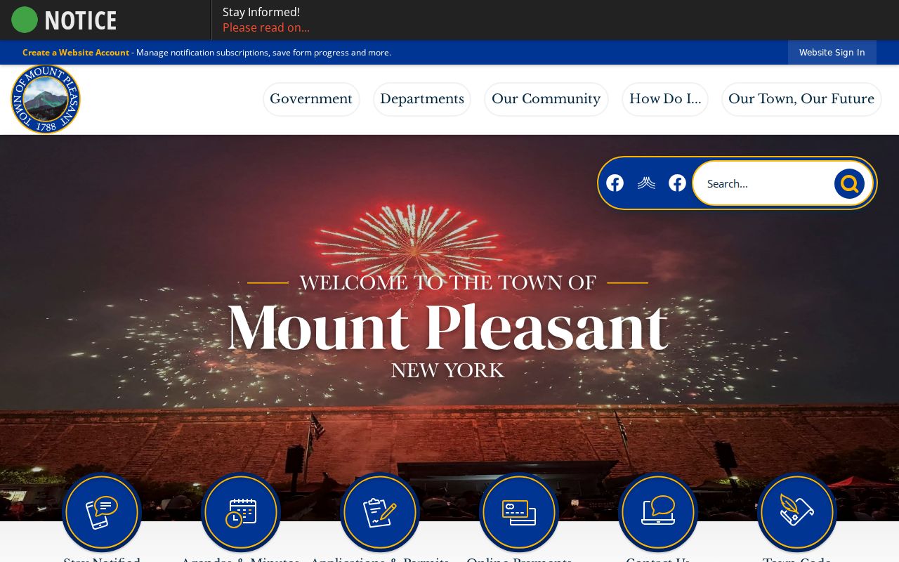
Town pages identify the municipal custodian, while County and State offices keep many of the linked record systems.
Mount Pleasant Parcel Keys and Addresses
Westchester County GIS is the practical bridge from a street address to a record trail. The Mount Pleasant parcel layer separates the parcel location from the owner’s mailing fields. Its `PROPADDRESS`, `PROPAPT`, `PROPCITY`, and `PROPZIP` fields describe the situs, while `OWNERNAME`, `OWNERADDRESS`, `OWNERCITY`, `OWNERSTATE`, and `OWNERZIP` describe the owner mailing relationship. `SBL`, `PRINTKEY`, and `SWISSBL` are the most useful links to the assessment roll and land records.
The Mount Pleasant parcel-layer schema shows why a postal address alone needs a second check. A proprietor may receive mail elsewhere, a trust may appear in the owner field, and a parcel can have a mailing city that is not its town jurisdiction.
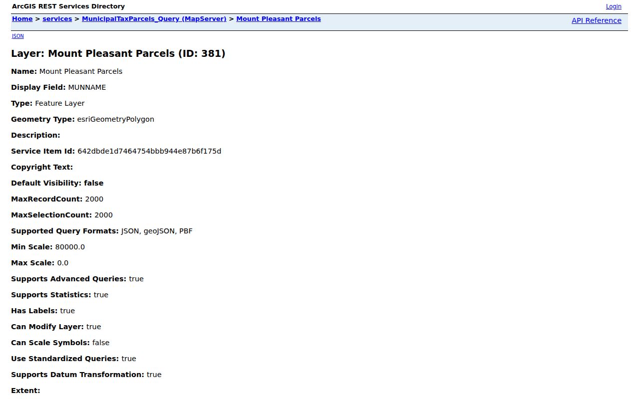
The parcel view is an address-to-records lead. It is not a certified title record or an occupancy list.
| GIS field | Use in a Mount Pleasant records search |
|---|---|
| PROPADDRESS / LOC_STREET | Locates the parcel on its street. |
| SBL / PRINTKEY | Connects the map result to annual roll and land-record work. |
| OWNERNAME | Supplies an owner-of-record lead, not a resident finding. |
| MUNNAME / SCHOOL_NAME | Helps preserve municipal and district context. |
Mount Pleasant Rolls by Year
The Town’s Assessor publishes final assessment-roll PDFs for 2012 through 2025 and a 2026 tentative roll. The roll is a yearly property snapshot. Its inspected 2026 headings include the tax-map parcel ID, property location and class, current owner name and address, school district, land and taxable values, parcel size or grid information, total, special districts, account number, and roll page. A record has to be read at its own date.
The Assessor’s official page directs researchers to those published rolls and to property cards on a public computer at the Assessor’s office. It does not provide a verified live owner-name search form, so a remote search should not be described as though it exists.
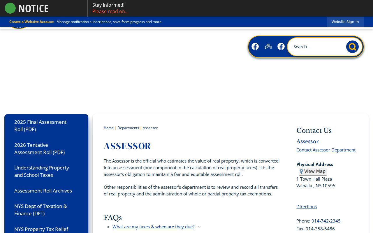
Assessment material can confirm the recorded parcel and owner for a selected roll year. It cannot establish who lived at the property.
Note: Town staff review and record real-property transfers, but the public roll remains a dated assessment record rather than a complete household register.
Current Mount Pleasant Resident Directories
Mount Pleasant has no one official current-household directory. The closest public sources identify different roles. A parcel layer and assessment roll identify property and recorded ownership. A voter record addresses registration under strict election rules. A court index shows a party in a case. Licensing and business records describe professional or organizational connections. The distinction is more useful than a broad label because it tells a reader what can be verified next.
| Mount Pleasant source | Recorded relationship | Custodian | Access route |
|---|---|---|---|
| Assessment roll and GIS | Owner of record, mailing and parcel fields | Town Assessor and County GIS | PDF rolls, public computer, map layer |
| Voter registration service | Registration and poll-site status | New York State Board of Elections | Personal lookup with legal limits |
| Land-record index | Grantor, grantee, instrument or map party | Westchester County Clerk | WRO index, Clerk counter, certified copy |
| Town staff directory | Municipal staff contacts | Town of Mount Pleasant | Official directory search |
| Local-history sources | Dated household and community references | MPPL, Archives, Historical Society | Archive, reading room, or research service |
Use the recorded role as the answer to the question. A person-to-record investigation needs a dated second source, which is the focus of the Mount Pleasant resident lookup workflow. A no-result can reflect a different jurisdiction, a protected address, a spelling difference, an unindexed file, or a record that simply does not exist.
Mount Pleasant Records by Role
A careful Mount Pleasant search names the relationship shown by each result. An assessment roll’s owner of record may receive mail away from the parcel. A tax-status result identifies a bill or payment relationship. A voter entry concerns registration and election administration. A court search identifies a party, heir, attorney, or case role. A historical directory identifies a household association printed in a particular year. These are useful, separate facts. Combining them without their dates and limits can turn a good record lead into a mistaken conclusion.
For example, an address can first be normalized in GIS, then checked against the appropriate annual assessment roll. That creates a parcel and owner snapshot. A deed can then show a recorded transfer, while a newspaper, directory, obituary, census, or probate file may provide household context for a particular era. The evidence is strongest when two independent source families agree on the person, place, and date. When they differ, preserve the difference rather than choosing the answer that appears most current.
| Record relationship | What it supports | What it does not establish |
|---|---|---|
| Owner of record | Recorded ownership or assessment status at the document date | Every person living at the property |
| Voter | A lawful registration or election-record inquiry | A general public household roster |
| Court party or heir | A role in a dated proceeding | Current residence or identity beyond the file |
| Directory household | A publisher’s dated local listing | Continuous residence before or after that edition |
New York’s Address Confidentiality Program, confidential voter procedures, sealed court material, and vital-record rules can also limit access. A missing name should be recorded as a no-result from that source and date, not treated as proof that a person did not live in Mount Pleasant.
Mount Pleasant Deed Trails
Westchester Records Online, often called WRO, provides Land Records, Legal Records, and Maps modes and advertises material from eighteenth-century deeds to recent judgments. Public index searching is free, while image and report access requires a registered account. The research inspection did not reliably load the full land-search form. That means a careful request uses the portal’s documented modes, a party or property clue, and a date range, rather than claiming unverified form filters.
WRO’s official gateway is a research convenience, not the official legal record. The service says its database is separate, periodically updated, and not guaranteed complete or current. An online image is not the legal equivalent of a certified County Clerk copy.
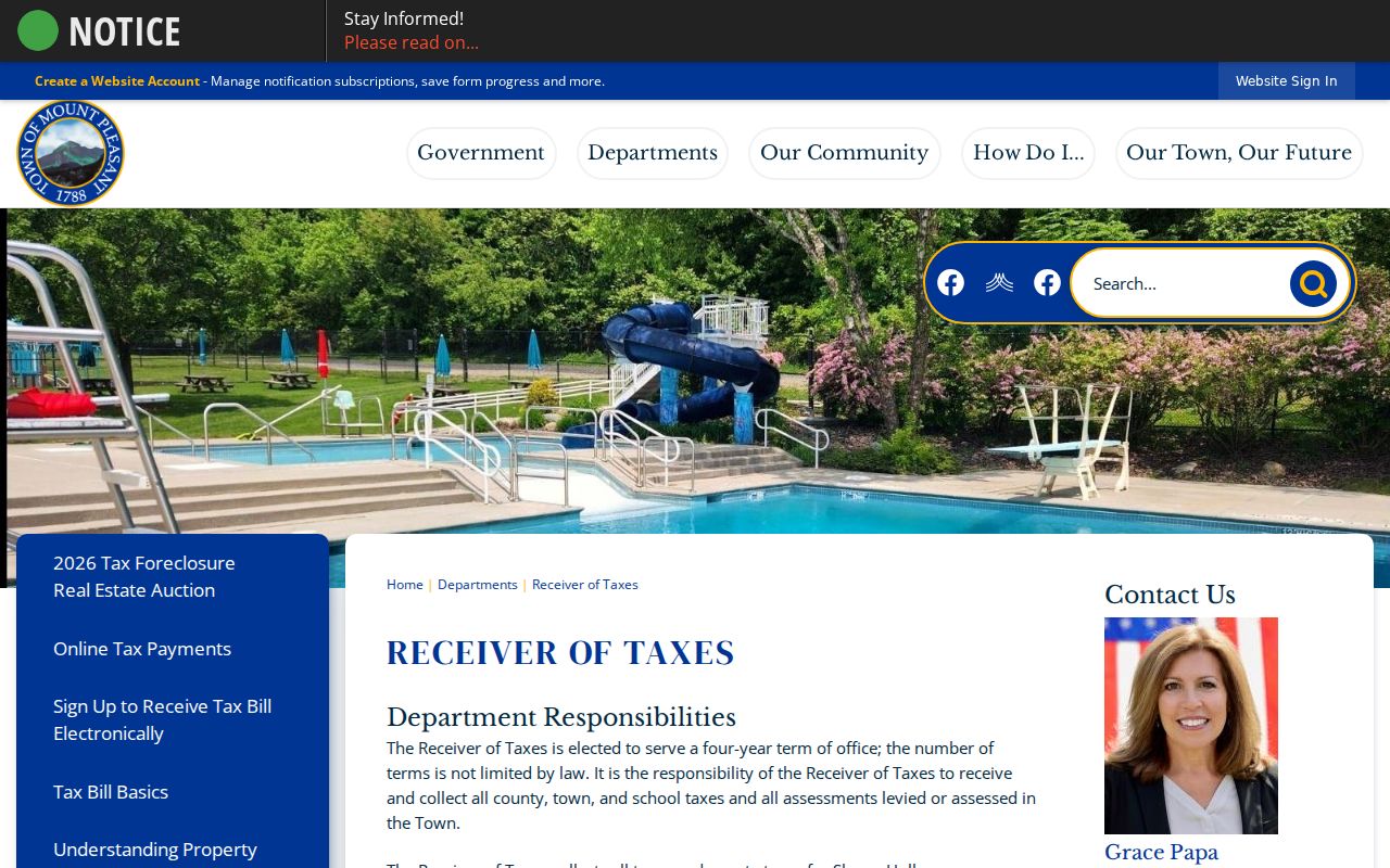
The Receiver of Taxes route can corroborate a bill or parcel relationship, but a payer, owner, mortgage servicer, and occupant may be different people.
Mount Pleasant Voter Record Limits
New York’s official voter lookup is a registration and poll-site service, not a public roster. It asks for County, last name, first name, date of birth, ZIP code, and address information. The interface requires cookies and JavaScript. Election Law §3-103(5) restricts voter-registration information to election purposes, even though Election Law §3-220 describes record fields that can include a residence address and election-district lists can be arranged by street or alphabetically under §5-602.
The official New York voter lookup should be used only within its stated purpose and without republishing contact information. A confidential voter procedure, inactive status, or the Address Confidentiality Program can legitimately limit a result.
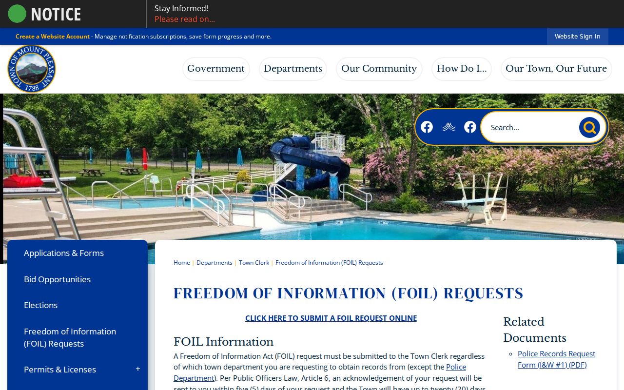
The Town’s records rules provide a useful reminder that a government-held record can still have privacy limits.
Mount Pleasant FOIL and Privacy
New York Freedom of Information Law, Public Officers Law Article 6, is the fallback for reasonably described Town records that are not online. Mount Pleasant routes general department requests, other than Police, to the Town Clerk and its OpenGov portal. The Town says it acknowledges a request within five days and may take up to 20 days from acknowledgment to research or provide records. Letter-size copies are generally 25 cents, with separate charges possible for larger items or media.
FOIL does not convert every agency-held list into a resident directory. In February 2026, the Court of Appeals held in Matter of Russell v Town of Mount Pleasant that the Town could withhold E-News subscriber names and email addresses as an unwarranted invasion of privacy. That local ruling is a practical limit on broad contact-list requests.
Mount Pleasant Archive Clues
The Mount Pleasant Public Library is the local-history starting point for newspapers, obituary indexes, genealogies, maps, photographs, and family research. Its digital archive contains more than 12,000 pages, mainly local newspaper material from 1956 through 1996 with some 1930s content. The wider collection also connects to old postal and railroad labels such as Valhalla, Hawthorne, Pleasantville, Thornwood, Tarrytown, and White Plains. Those place names often matter more than a modern municipal search label.
The Town Historian’s page directs researchers to Westchester County Records Center holdings, where older maps, deeds, probate material, and local-government records may offer the next lead.
Archives help establish a record’s date and setting. They should be paired with the document type that actually identifies the person or parcel.
Mount Pleasant Permit Records
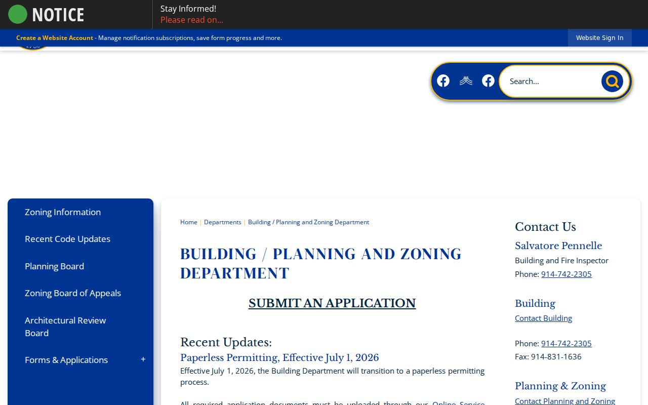
Building, planning, and zoning files can date work at a property, including permits, inspections, certificates of occupancy, and related records. The Town moved forms to its OpenGov Online Service Center on July 1, 2026. The research inspection could not verify the portal’s field labels or title-search controls, so a request should name the street address, parcel key, record type, and date range instead of relying on a presumed online filter.
The Building, Planning, and Zoning Department handles Town parcels, but the Town does not keep building information for properties in Pleasantville, Sleepy Hollow, and Briarcliff Manor. Check GIS jurisdiction before requesting a village file.
A permit applicant, contractor, or design professional is a participant in a permit record, not necessarily a person living at the property.
Mount Pleasant Maps and Archives
County Archives adds a deeper historical route when the online record ends. Its deed grantor-grantee indexes reach 1680 to 1907, mortgagor indexes reach 1680 to 1897, estate records reach 1782 to 1909, and maps span approximately 1766 to the present. The Archives offers name and year search forms for several historical indexes, a Reading Room, research by mail, and custom research. Each route has a different result: a name-index lead, an archive copy, and a certified County Clerk document are not interchangeable.
For a map question, record the map number, date, road or lot description, and the relationship identified by the map. The 1848 Beekman Farm map is especially useful because it names owners, lots, roads, railroads, water features, churches, cemeteries, and other physical clues. It can help translate a deed description into a place, but it records the map-era landscape rather than a modern household.
Historical Mount Pleasant Resident Directories
Historic directory work in Mount Pleasant follows nearby publisher labels. FamilySearch catalogs Turner’s 1905 and 1907 directories for White Plains, Scarsdale, Hartsdale, Valhalla, Hawthorne, and Sherman Park, along with 1904–1905 and 1913–1917 railroad-corridor runs. The library also provides newspaper and obituary context. A directory entry can place a household in a publisher’s coverage area at a point in time, but it does not establish a present address.
The 1788–1802 Town record book, County deed and estate indexes, the 1848 Beekman Farm map, and the 1834–1857 Westchester Herald make the record trail older still. The Herald’s office was destroyed by fire in 1856, a useful reminder that a gap in a newspaper run is not proof a person or event was absent. The full collection and reel trail appears on the Mount Pleasant city directory page.
- Roll
- A dated official list or assessment record, not a complete household census.
- Index
- A finding tool that points to a document or record entry.
- Criss-cross directory
- A directory arranged by address or street rather than only by surname.
- Parcel
- A mapped piece of land identified by a tax or land-record key.